A legend is provided for each map layer. Toggle layers on and off using the eye icon.
A legend is provided for each map layer. Toggle layers on and off using the eye icon.
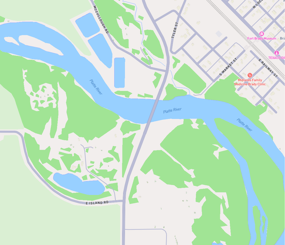
Standard
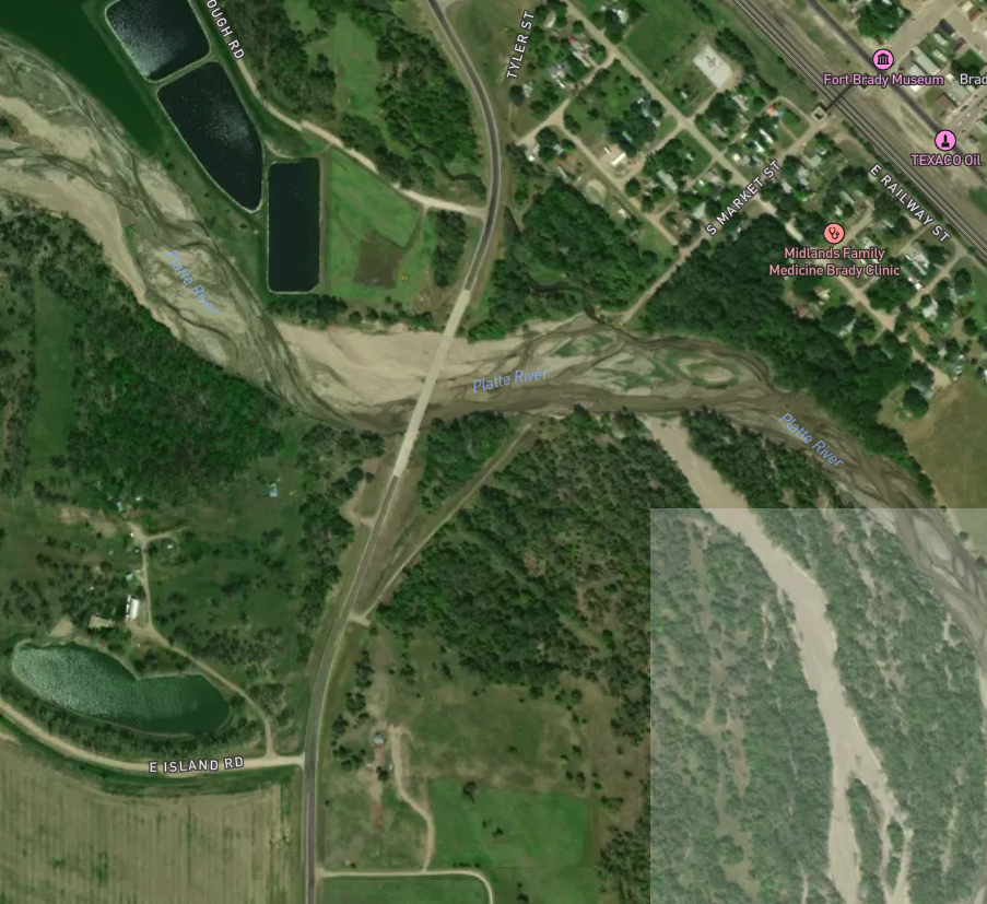
Satellite
A legend is provided for each map layer where you can also toggle layers and features.
Active River Calls
Monitoring Locations
Diversions Points
SVLH District Boundary
County Boundaries
DWR Districts
Townships
Sections
City Boundaries
Municipal Boundaries
Major Streams
Minor Streams
Lakes
Ditches and Canals
HUC 12 Watersheds
HUC 10 Watersheds
Boulder County Trails
Significant Agricultural Lands
NLCD 2021 Land Cover
Land Ownership